From Tirana Fully paved
Take the motorway south past Durrës to Fier. Continue on the SH4 through Levan and Memaliaj to Tepelenë, then turn east onto the SH75 up the Vjosa through Këlcyrë to Përmet.
Mirë se vini
Every way to get here by car, bus, plane and ferry, with distances measured on Google Maps.
Driving distance and time to Përmet town centre from 19 starting points. All figures are from Google Maps (fastest route, normal traffic), checked on 2 November 2026. Allow extra time in summer and for photo stops.
| From | Distance | Driving time | Main route | Directions |
|---|---|---|---|---|
| In Albania | ||||
| Tirana | 242 km | 3 h 39 min | Motorway to Fier, then via Tepelenë and the Vjosa valley | Google Maps |
| Durrës | 209 km | 3 h 4 min | Via Fier and Tepelenë | Google Maps |
| Berat | 191 km | 3 h | Via Fier and Tepelenë | Google Maps |
| Vlorë | 141 km | 2 h 13 min | SH4 to Tepelenë, then SH75 | Google Maps |
| Himarë | 141 km | 2 h 53 min | Coast road south, then the Kardhiq road to Tepelenë | Google Maps |
| Korçë | 130 km | 2 h 57 min | SH75 mountain road via Ersekë and Leskovik | Google Maps |
| Fier | 124 km | 2 h 6 min | SH4 to Tepelenë, then SH75 | Google Maps |
| Ksamil | 107 km | 2 h 8 min | Via Sarandë and the Kardhiq road | Google Maps |
| Sarandë (Saranda) | 93.6 km | 1 h 46 min | Kardhiq road (SH78) north, then via Tepelenë | Google Maps |
| Gjirokastër (Gjirokastra) | 59.7 km | 1 h 11 min | Drino valley (SH4) to Tepelenë, then SH75 | Google Maps |
| Tepelenë | 41.9 km | 52 min | SH75 through the Këlcyrë Gorge | Google Maps |
| Airports | ||||
| Tirana Airport (TIA) | 238 km | 3 h 28 min | Motorway via Fier; Google shows a toll section | Google Maps |
| Ioannina Airport (IOA), Greece | 97.8 km | 2 h 4 min | Via Konitsa and the Mertziani – Tre Urat crossing | Google Maps |
| Corfu port, Greece | 124 km | 3 h 23 min | Ferry to Sarandë, then the Kardhiq road (time includes the ferry) | Google Maps |
| Greece & North Macedonia | ||||
| Mertziani – Tre Urat border | 36.6 km | 56 min | SH75 down the Vjosa valley | Google Maps |
| Kakavia border | 94.6 km | ≈ 2 h | Via Gjirokastër and Tepelenë | Google Maps |
| Ioannina, Greece | 102 km | 2 h 14 min | Via Konitsa and the Mertziani – Tre Urat crossing | Google Maps |
| Ohrid, North Macedonia | 205 km | 4 h 27 min | Via Korçë, then the SH75 mountain road | Google Maps |
| Thessaloniki, Greece | 324 km | 4 h 50 min | Egnatia Odos (A2) to Ioannina, then via Konitsa | Google Maps |
Google Maps times change with traffic and roadworks; open any route with its link to see live conditions before you set off.
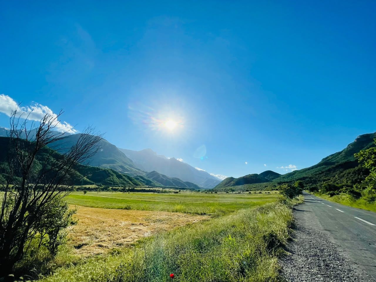
Almost every route ends the same way: from Tepelenë, the SH75 follows the Vjosa through the Këlcyrë Gorge to Përmet. It's one of the most beautiful drives in Albania.
Take the motorway south past Durrës to Fier. Continue on the SH4 through Levan and Memaliaj to Tepelenë, then turn east onto the SH75 up the Vjosa through Këlcyrë to Përmet.
No need to drive into Tirana: join the motorway towards Durrës and Fier from the airport, then follow the same road via Tepelenë. Google Maps shows a toll section on this route.
Motorway south to Fier, then the SH4 to Tepelenë and the SH75 to Përmet.
West to Fier, then south on the SH4 to Tepelenë and up the Vjosa on the SH75. It's longer on the map but the quickest and easiest drive.
Google Maps also suggests a shorter route on smaller inland roads. It saves distance, not time.
On the map, the mountain road from Berat via Ballaban looks shortest, but Google Maps doesn't route it and parts are rough. Ask locally before trying it.
Inland to the SH4, south to Tepelenë, then the SH75 to Përmet. Google also offers a shorter road (117 km) that takes about the same time.
South on the SH4 through Levan and Memaliaj to Tepelenë, then the SH75.
North along the Drino valley on the SH4 to Tepelenë, then east on the SH75. An easy day trip, but Përmet deserves a night or two.
North on the Kardhiq road (SH78) to the Drino valley, past Tepelenë and up the Vjosa. Quicker than the old route over the Muzinë pass and through Gjirokastër.
North to Sarandë, then the same route via the Kardhiq road and Tepelenë.
South along the coast road (SH8) via Borsh, then inland on the Kardhiq road to Tepelenë and the Vjosa valley.
South on the SH75 through Ersekë and Leskovik, then down into the Vjosa valley. A winding but spectacular road along the Greek border; drive it in daylight.
Cross into Albania and drive via Korçë, then follow the SH75 mountain road south to Përmet.
North via Konitsa to the small Mertziani – Tre Urat crossing, then down the Vjosa valley on the SH75. Check the border opening hours before you go.
West on the Egnatia Odos (A2) to Ioannina, then north via Konitsa and the Tre Urat crossing.
Take the ferry from Corfu port to Sarandë (fast boats about 30 minutes, car ferries about an hour), then drive 93.6 km via the Kardhiq road.
More about the border crossings is in the From Greece section below.
Tap a place to see its distance and driving time, then open the route in Google Maps.
Buses and minibuses (furgon) are cheap and cover the main routes. Times below are from published timetables and change with the seasons, so check them the day before.
From Tirana's South & North Bus Terminal (Terminali i Autobusëve Jug-Veri).
There's no direct bus. Take the airport line to the South & North Bus Terminal, then the Përmet bus.
From the bus stop by the roundabout in the lower (new) town.
Over the mountains via Ersekë and Leskovik.
There are no reliable direct buses. Go to Gjirokastër (from Sarandë) or Tepelenë and Fier (from Vlorë and Berat) and change there, or take a taxi for the last stretch.
Private transfers can be booked from Tirana Airport, Sarandë and Gjirokastër. Taxis in Përmet are handy for Bënjë, Lengarica and the rafting base. Agree the price before you set off.
Përmet has no airport of its own. These are the realistic options, with Google Maps driving times to Përmet.
Albania's main airport, with the most flights. Rent a car at the airport or take the bus via Tirana.
The closest airport to Përmet, a small regional airport. Cross the border at Mertziani – Tre Urat.
Many summer flights from across Europe. Ferry to Sarandë, then drive or take a transfer.
Good for combining Lake Ohrid with Korçë and the mountain road to Përmet.
A big airport with many connections; motorway most of the way.
Built, but not yet open for regular passenger flights (as of mid-2026). When it opens it will be about 141 km from Përmet.
Përmet is close to the Greek border, so it's easy to combine with Ioannina, the Zagori villages or Corfu.
The closest crossing to Përmet: 36.6 km, 56 min. A small border post on the road from Konitsa, right where the Vjosa enters Albania. Opening hours are limited and have changed over the years, so check before you travel.
The main crossing, 94.6 km from Përmet via Gjirokastër. Widely listed as open 24 hours. It can be busy in summer, and rare strikes have closed it for a day.
Fast boats take about 25–45 minutes; car ferries take about an hour or more. Allow 45–60 minutes at the port for checks. Corfu is one hour ahead of Albania.
We label every route so you know what to expect before you set off.
Asphalt the whole way. Fine for any car.
Paved but winding or narrow, sometimes with rough patches. Drive slowly, in daylight.
Border crossings and roads Google Maps doesn't route. Ask locally before you go.
Travel FAQ
Distances and driving times are from Google Maps (November 2026). Times change with traffic and roadworks.
242 km, about 3 h 40 min by car according to Google Maps: the motorway south to Fier, then through Tepelenë and up the Vjosa valley. Buses from Tirana's South and North Bus Terminal take about 4 hours.
59.7 km, about 1 h 10 min by car: north along the Drino valley to Tepelenë, then east up the Vjosa. Buses run a few times a day, mostly late morning.
The closest airport is Ioannina in Greece, 98 km and about 2 hours by car. The main international airport is Tirana (TIA), 238 km and about 3 h 30 min away. Corfu airport is also an option, with a ferry to Sarandë and a 94 km drive.
Yes. Buses leave Tirana's South and North Bus Terminal about four times a day (about 4 hours). There are also buses from Gjirokastër (about three a day) and Korçë (about two a day). Timetables change, so check times before you travel.
Yes. From Ioannina drive north via Konitsa and cross at Mertziani–Tre Urat: 102 km, about 2 h 15 min. The main 24-hour crossing at Kakavia is about 95 km from Përmet via Gjirokastër. From Corfu, take the ferry to Sarandë and drive 94 km.
The main roads via Tepelenë and the Vjosa valley are paved. The road from Korçë through Ersekë and Leskovik is paved but winding. A mountain road from Berat via Ballaban looks shorter on the map, but Google Maps does not route it and parts are rough.
Rafting trips start from Përmet itself, so you can walk or take a short drive to the meeting point. Your rafting company confirms the exact spot when you book.
Sources: driving distances and times from Google Maps; bus times from Gjirafa Travel and gjirokastra.org; airport bus from Tirana Airport; ferry times from Direct Ferries; border information from Wikipedia.